Travel Guide of Lake Pukaki in New Zealand by Influencers and Travelers
Lake Pukaki is the largest of three roughly parallel alpine lakes running north–south along the northern edge of the Mackenzie Basin on New Zealand's South Island. The others are Lakes Tekapo and Ohau.
Pictures and Stories of Lake Pukaki from Influencers
20 pictures of Lake Pukaki from Casey Horner, Jean-Pierre Brungs, Yoal Desurmont and other travelers
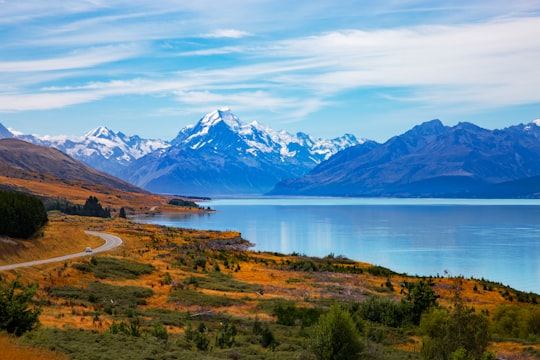
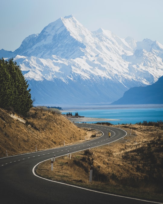
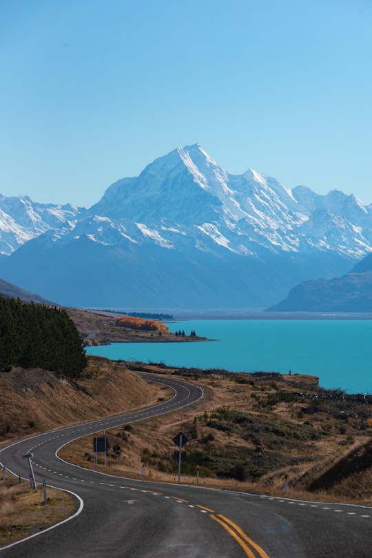
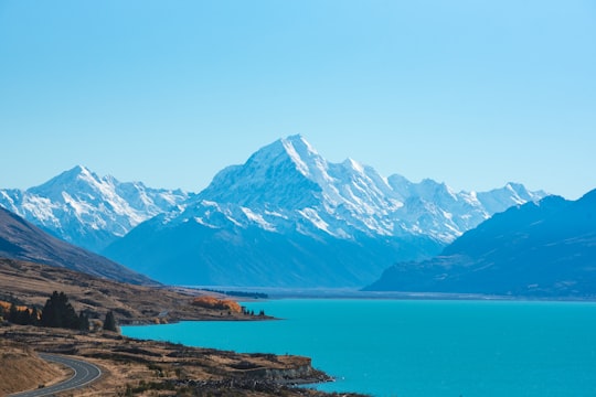
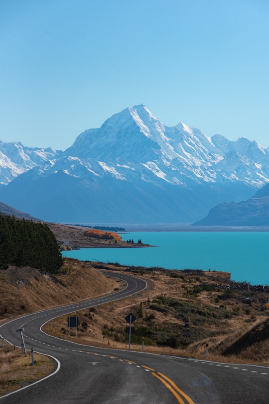
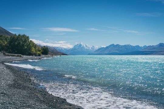
- Road leading to Mount Cook, New Zealand with blue lake in foreground at daytime. ...click to read more
- Experienced by @Nicole Richstein | ©Unsplash
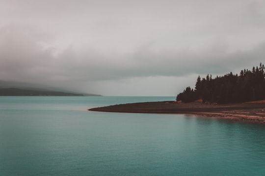
- Edited with Dramatic & Moody Landscapes – Lightroom Presets by Presetbase. With this collection of 22 Lightroom Presets you will be able to create a m ...click to read more
- Experienced by @Presetbase Lightroom Presets | ©Unsplash
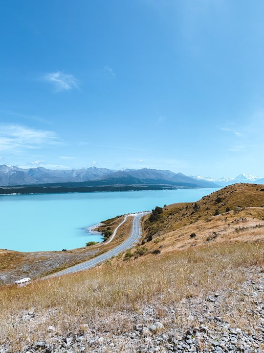
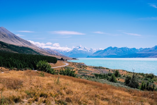
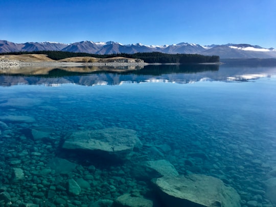
- Lake Pukaki gets its colour from the glacial water flowing from the alps. ...click to read more
- Experienced by @Molly Spink | ©Unsplash

- Nothing more to say, I am just missing this place so much! ...click to read more
- Experienced by @Thomas Schweighofer | ©Unsplash
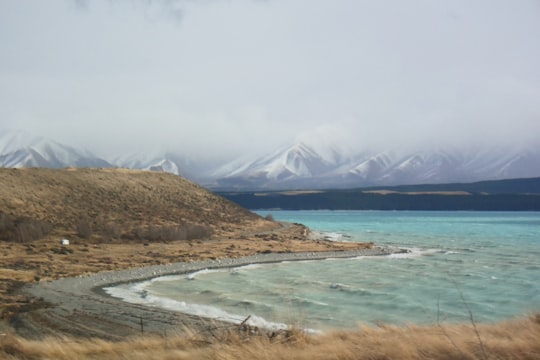
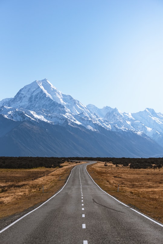
- Lake Pukaki, unexpectedly good views (1) ...click to read more
- Experienced by @Hiu Yan Chelsia Choi | ©Unsplash
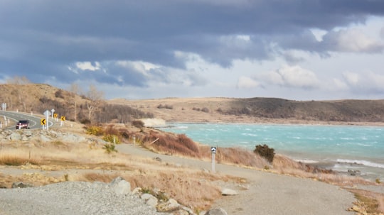
- Lake Pukaki, unexpectedly good views (2) ...click to read more
- Experienced by @Hiu Yan Chelsia Choi | ©Unsplash
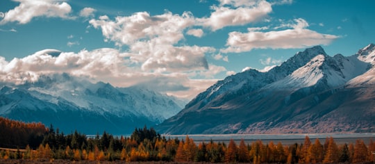
- Autumn trees by a lake ...click to read more
- Experienced by @Jean-Pierre Brungs | ©Unsplash
Plan your trip in Lake Pukaki with AI 🤖 🗺
Roadtrips.ai is a AI powered trip planner that you can use to generate a customized trip itinerary for any destination in New Zealand in just one clickJust write your activities preferences, budget and number of days travelling and our artificial intelligence will do the rest for you
👉 Use the AI Trip Planner
The Best Things to Do and Visit around Lake Pukaki
Disover the best Instagram Spots around Lake Pukaki here
1 - Ben Ohau Range
19 km away
Ben Ohau Range is a mountain range in Canterbury Region, South Island, New Zealand. It lies west of Lake Pukaki, at 44°S 170°E and east of the Dobson river and Lake Ohau. The Ben Ohau range is dominated at the southern end by Ben Ohau.
View on Google Maps Book this experience
2 - Lake Tekapo
26 km away
Lake Tekapo is a small township located at the southern end of the lake of the same name in the inland South Island of New Zealand. It had 558 residents according to the 2018 census, being one of five settlements in the sparsely populated Mackenzie Basin. State Highway 8 runs directly through the township – 227 kilometres from Christchurch and 256 kilometres from Queenstown. Daily shuttle services link Lake Tekapo to Christchurch and Queenstown. The lake is a popular tourist destination, and several resort hotels are located at the township. Lake Tekapo Airport is located 5 kilometres west of the town where local tourism operator Air Safaris is based. Twizel lies 60 km south of Lake Tekapo via Lake Pukaki and Burkes Pass lies 21 km west along State Highway 8.
Learn more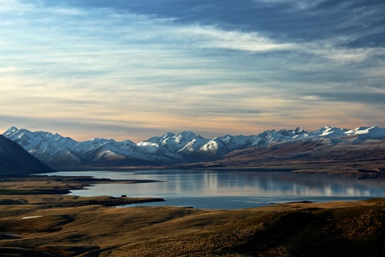

3 - Helicopter tours in Aoraki / Mount Cook
18 km away
Adventure into Mount Cook National Park and heli hike across Tasman Glacier. Witness the beauty of the Tasman Glacier lake and the stunning ice formations from the helicopter as you fly over the spectacular Tasman Glacier. Once you descend and step f...
Learn more
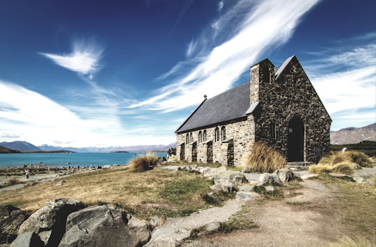
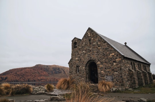
4 - Church of the Good Shepherd
26 km away
Learn more
5 - Tekapo
27 km away
Lake Tekapo is a small town located at the southern end of the lake of the same name in the inland South Island of New Zealand. It had 369 residents according to the 2013 census, being one of five settlements in the sparsely populated Mackenzie Basin. SH 8 runs directly through the township – 227 km from Christchurch and 256 km from Queenstown. Daily shuttle services link Lake Tekapo to Christchurch and Queenstown. The lake is a popular tourist destination, and several resort hotels are located at the township. Lake Tekapo Airport is located 5 km west of the town. Chartered flights are available at locally based Air Safaris. Twizel lies 60km south of Lake Tekapo via Lake Pukaki and Burkes Pass lies 21km west along state highway 8.
Learn more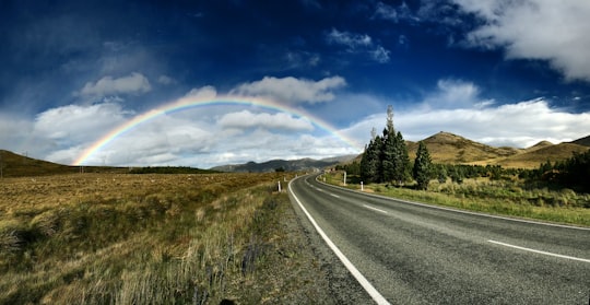
6 - Lake Ohau
29 km away
Lake Ōhau is a lake in the Mackenzie Basin in the South Island of New Zealand. The Hopkins and Dobson rivers fed into the northern end of Lake Ōhau. These rivers have their headwaters in the Southern Alps / Kā Tiritiri o te Moana.
Learn more Book this experience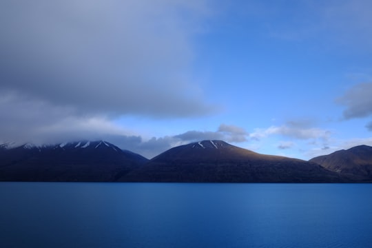

7 - Lake Alexandrina
29 km away
Lake Alexandrina is a lake located in the Mackenzie Basin of New Zealand's South Island. It lies immediately to the west of the much larger Lake Tekapo and further to the east of Lake Pukaki, located to the north of Lake Tekapo township.
Learn more Book this experience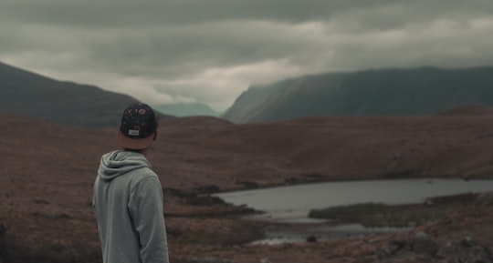

8 - Southern Alps
35 km away
The Southern Alps / Kā Tiritiri o te Moana is a mountain range extending along much of the length of New Zealand's South Island, reaching its greatest elevations near the range's western side.
Learn more Book this experience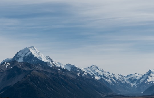
9 - Aoraki/Mount Cook
40 km away
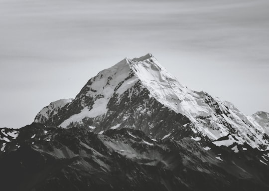
Aoraki / Mount Cook is the highest mountain in New Zealand. Its height, as of 2014, is listed as 3,724 metres. It lies in the Southern Alps, the mountain range which runs the length of the South Island.
Learn more Book this experience
10 - Hooker Valley track
40 km away
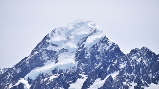
Learn more
11 - Hooker Lake
44 km away
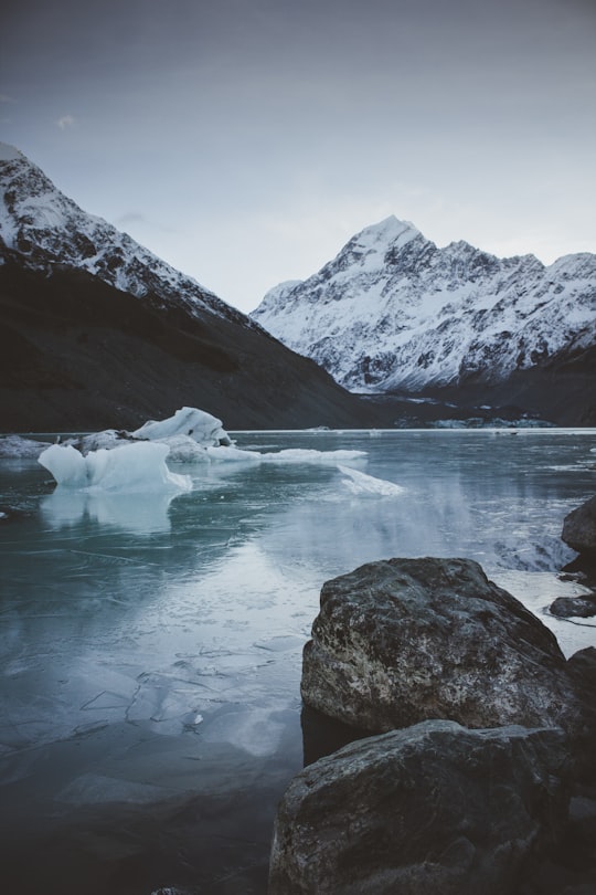
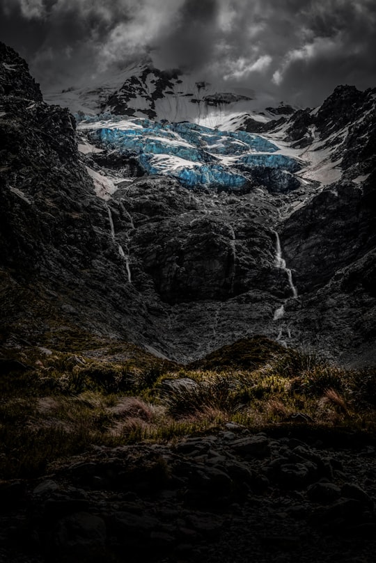
Hooker Lake is a proglacial lake that started to form in the late 1970s by the recent retreat of the Hooker Glacier. It is in the Hooker Valley, in the Aoraki / Mount Cook National Park in New Zealand's South Island, just south of Aoraki / Mount Cook.
Learn more Book this experience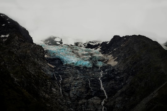
12 - Omarama
49 km away
Omarama is a small town at the junction of State Highways 8 and 83, near the southern end of the Mackenzie Basin, in the South Island of New Zealand. Omarama is in the Waitaki District, in the southern Canterbury region. The Ahuriri River is a short distance to the north of the township.
Learn more
Book Tours and Activities in Lake Pukaki
Discover the best tours and activities around Lake Pukaki, New Zealand and book your travel experience today with our booking partners
Learn More about Lake Pukaki
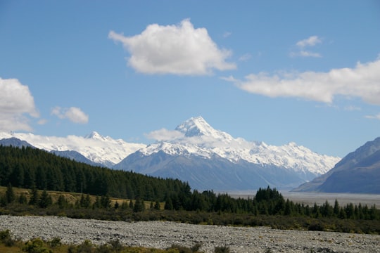
This lake leading to Mount Cook village is incredible. Its barely imaginable blue colour is a source of wonder to all who pass by. The road that runs along the lake for about thirty kilometres is one of the most beautiful roads in the country and one can't count the number of photo stops that one makes there, as each kilometre covered seems to offer an even more magical panorama than the previous one. Lake Pukaki, like its neighbour Lake Tekapo, is a real postcard landscape. It is a must-see if you are heading to Mount Cook. The turquoise water of the lake and the mountains in the background form a magnificent landscape. This amazing colour is perfectly natural: it comes from micro particles of rock suspended in the water. These come from the glaciers that feed Lake Pukaki upstream. The result is striking. Once here, all you have to do is enjoy and relax. You can take a short walk along the water's edge, but remember that this lake is about 30 kilometres long and 6 kilometres wide. If the evening aperitif is rather pleasant with the view of the surroundings, imagine waking up in the morning, with the landscape offered by the glaciers
Where to Stay near Lake Pukaki
Discover the best hotels around Lake Pukaki, New Zealand and book your stay today with our booking partner booking.com
More Travel spots to explore around Lake Pukaki
Click on the pictures to learn more about the places and to get directions
Discover more travel spots to explore around Lake Pukaki
⛰️ Mountain range spots 🛣️ Road trip spots 🏞️ Loch spots 🏖️ Shore spots 🌊 Ocean spots 🏞️ Reservoir spots 🏖️ Beach spots ❄️ Glacial lake spots 🌲 Forest spotsTravel map of Lake Pukaki
Explore popular touristic places around Lake Pukaki
